A continent-like shelf beneath the Martian surface hints that a vast ocean once covered up to a third of Mars, reshaping the long-running debate over its watery past.

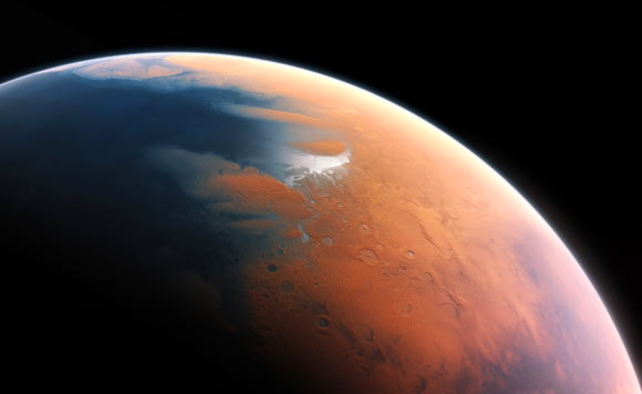
This artist’s impression shows how Mars may have looked about 4 billion years ago. Image credit: M. Kornmesser / ESO.
While it is widely accepted that Mars once had some amount of liquid water on its surface, it is still unclear whether that water was limited to lakes and streams, or if there was enough to form long-lasting oceans.
Past Mars missions have discovered geologic features that look like shorelines, but they are subtle and are found at varying elevations across the planet.
If they were true signatures of a stable ocean, these shorelines would need to all be at the same elevation in the same way that sea levels are consistent across our own planet.
“If Mars did have an ocean, it dried up a long time ago — possibly several billion years ago, more than half of the age of the planet itself,” said Caltech Professor Michael Lamb.
“There is hardly anything on Earth that is that old; anything on Mars from that time has been eroded by billions of years of wind blowing, volcanoes erupting, and other disturbances removing subtle features.”
“We wanted to find a better topographic feature than shorelines that could be evidence for an ocean.”
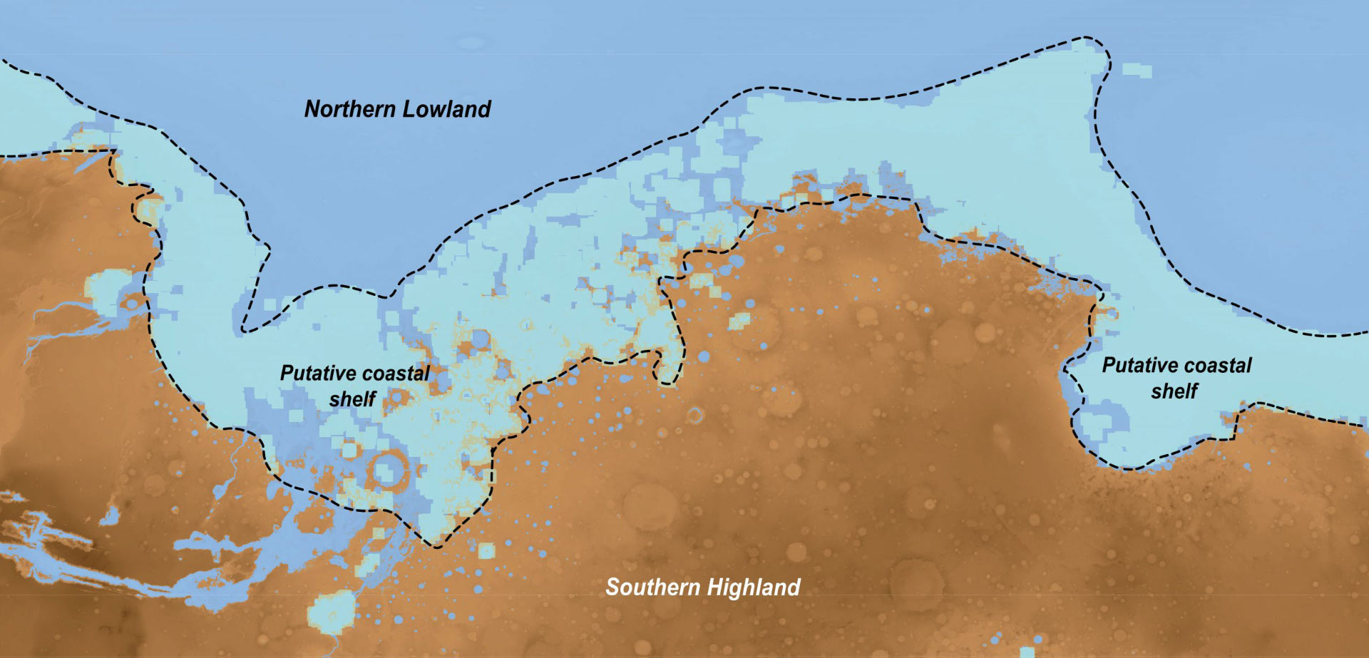
Illustration taken from orbiter data identifying the coastal shelf region on Mars; analogous features on Earth are signatures of our global oceans, and only form over long periods of time. Image credit: A. Zaki.
Professor Lamb and his colleague, Dr. Abdallah Zaki from Caltech and the University of Texas at Austin, looked first to Earth to determine which geological features are indicative of an ocean on our own planet.
Using computer simulations, they first dried up the oceans to see which topographic features remained.
The models showed that the most distinct feature of the oceans is a flat band of land, up to several hundreds of kilometers wide, wrapping the contours of where land meets ocean like a ring that remains around a drained bathtub. That band is called the continental shelf.
Though sea levels on Earth, and thus the location of shorelines, have fluctuated over many years, the continental shelf is a large landform that is relatively stable over time.
The researchers then looked at topographic data of Mars taken by orbiters and found an analogous band that is suggestive of an ocean in the Martian northern hemisphere covering a third of the planet’s surface.
A landform like this takes time to form — and notably is not found around lakes — which indicates that the ocean must have existed stably for possibly millions of years.
The scientists also saw evidence that river deltas, the triangular plains of sediment created where rivers spill into the ocean, lined up with the ‘bathtub ring’ shelf.
“The shelf is a new observation that ties together evidence of what the coastal zone would have looked like,” Dr. Zaki said.
“Nobody had really looked for it before. It’s a strong additional piece of evidence supporting a northern ocean on Mars, but there’s plenty of follow-up work to be done for rovers to examine deposits and for further analysis of satellite data.”
The results appear in the journal Nature.
_____
A.S. Zaki & M.P. Lamb. Identifying the topographic signature of early Martian oceans. Nature, published online April 15, 2026; doi: 10.1038/s41586-026-10381-2
Source: Read Full Article